
We develop landslide activity maps for selected areas in the Yunnan Province. The maps will be helpful in planning development in areas endangered by landslides.
The project is implemented together with the Chengdu Centre of China Geological Survey.
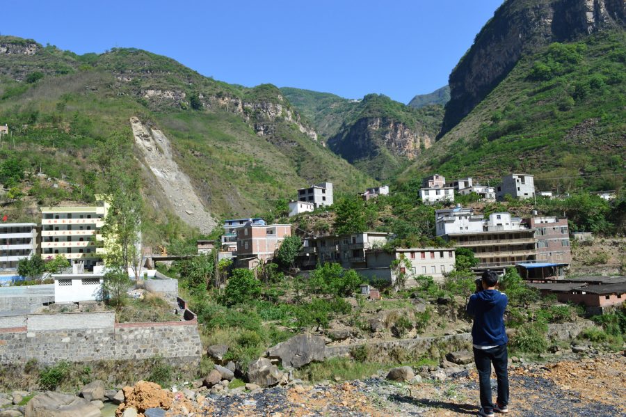


We develop landslide activity maps for selected areas in the Yunnan Province. The maps will be helpful in planning development in areas endangered by landslides.
The project is implemented together with the Chengdu Centre of China Geological Survey.