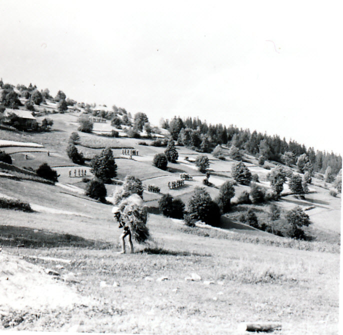
The study of past land use is not merely an exploration of history. It serves to elucidate the present, as knowledge in this regard plays a significant role in understanding current and future changes in the natural environment and the role of humans in its transformation.
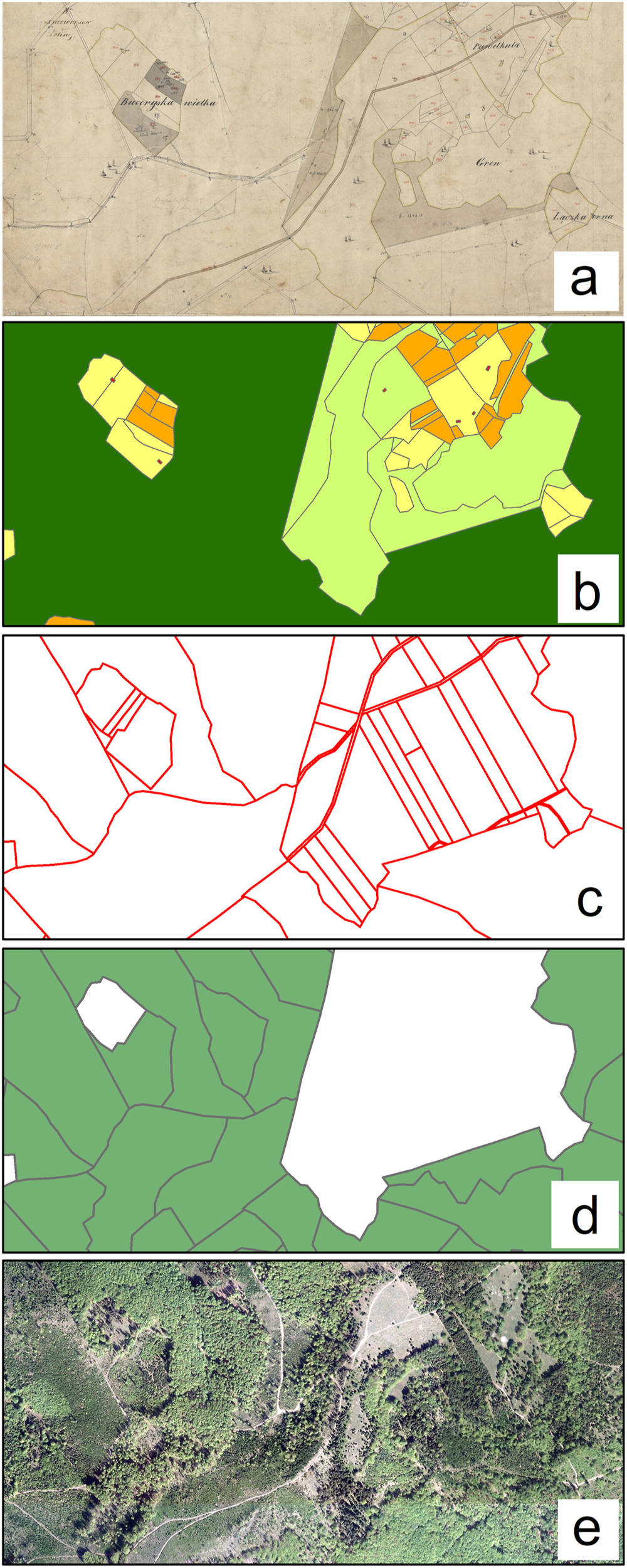
In his latest article published in the “Journal of Historical Geography,” Dr Michał Sobala from the Landscape Studies Team evaluated the usefulness of contemporary maps in reconstructing the historical range of mid-forest glades in the Western Carpathians. Based on an analysis of modern maps, the author reconstructed up to 90% of the glade area depicted on Austrian cadastral maps from 1848. The study revealed that the glades that could not be reconstructed were mainly those of small size. Consequently, their area accounted for only 2% of the study area, with little impact on the final reconstruction outcome.
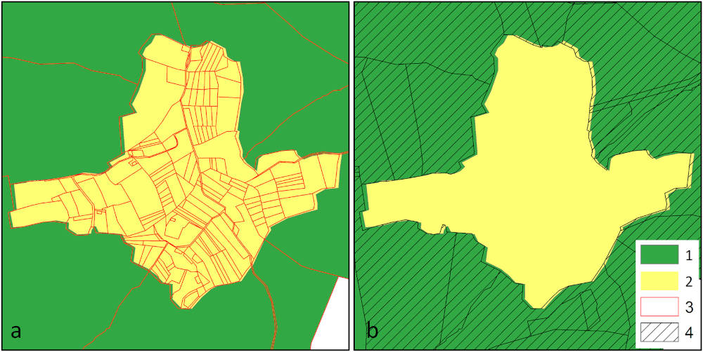
The proposed method is based on the analysis of the size and shape of contemporary plots – their fragmentation resulting from historical land divisions allows for determining which were used as agricultural land and which were forested areas in the past. The contemporary Forest Numeric Map also played a significant role, as a modern range of forested areas refers to their historical range. This method can be successfully applied in areas where land fragmentation occurred, and abandonment of land use allowed for the preservation of the effects of this fragmentation. It is beneficial for areas where historical maps are lacking, necessitating the search for alternative methods of reconstructing past environmental conditions.
The research was funded by the National Science Centre in Poland (Grant number 2019/03/X/ST10/00775).
Reference: https://doi.org/10.1016/j.jhg.2024.03.011
Note author: Michał Sobala


