The historical range of arable fields in the mid-forest glades in the Silesian and Żywiec-Kisuce Beskid was greater than the one indicated on archival maps. This is the main conclusion of the studies conducted by Dr Michał Sobala from the Landscape Research Group in the “Miniatura 3” project, supported by the National Science Centre Poland (grant number 2019/03/X/ST10/00775).
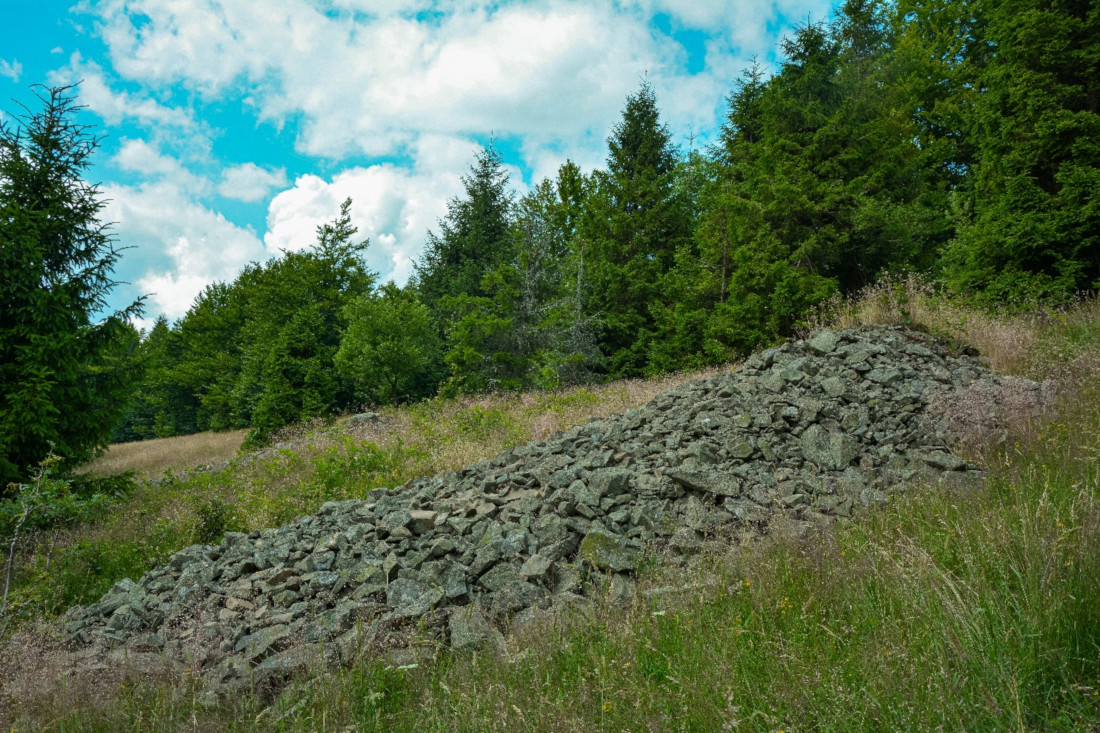
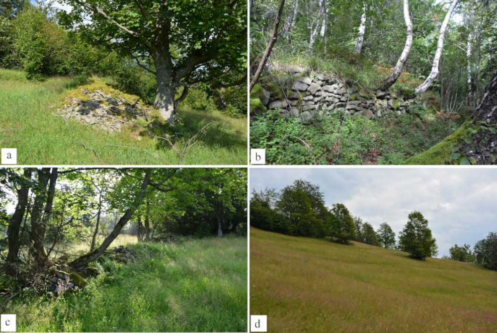
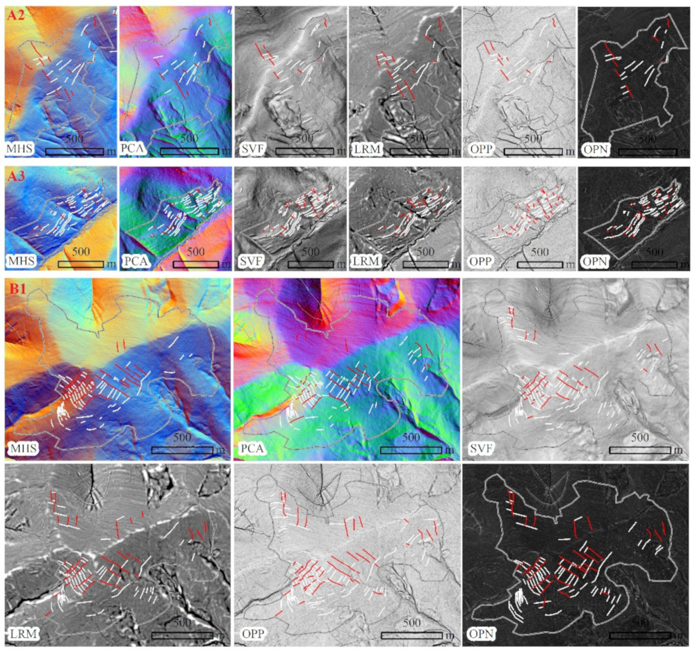
The study consisted in comparing the range of arable fields presented on the Austrian cadastral maps from 1848 with the range of terrain forms typical for agricultural land use (agricultural terraces, lynchets, stone mounds and walls). These terrain forms were reconstructed based on LiDAR data and during field mapping. This comparison showed that the archival maps did not record the maximum range of arable fields in glades. That sheds entirely new light on the issue of the historical land use structure in the Polish Carpathians.
Information about the studies was also presented on the cover of the Journal of Mountain Science: http://jms.imde.ac.cn/image/image_gallery?uuid=1bd7b58d-5e1e-4934-ad7b-b645a8ad27f0&groupId=21915&t=1628820061396
Sobala M (2021) Do historical maps show the maximal anthropopressure in the Carpathians?. Journal of Mountain Science 18(8).


