We live in times of the Great Acceleration. The intensification of human activity is reflected in landscape changes that accelerated worldwide after World War II. These changes concern not only areas where human activity intensifies but also marginal areas where humans abandon their activities. As a result of both processes, the range of traditional landscapes shaped by humans before the industrial era is decreasing.
The Western Beskids are an example of such an area. Here, the traditional landscape was shaped due to seasonal mountain management in meadows and clearings. The studies conducted in this area by Dr. Michał Sobala have allowed to determine the current state of the traditional landscape in the Western Beskids and how the current land use affects the possibility of preserving this landscape.
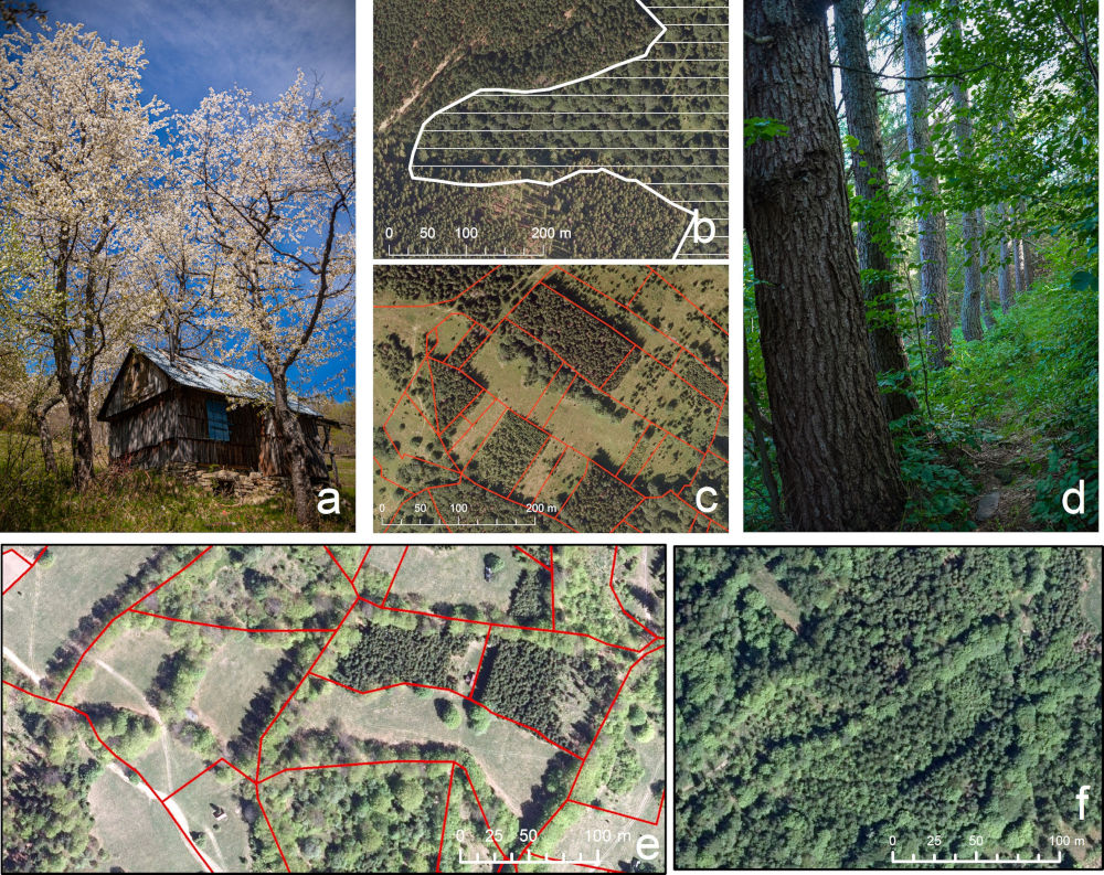
The study has shown a significant decline in the extent of the traditional landscape from the mid-19th century. The range of non-forest areas decreased by 66% in the Barania Góra Range and 54% in the Wielka Racza Range since 1848. These changes were mainly caused by secondary forest succession resulting from land abandonment and, in some cases, chaotic development of tourist infrastructure. The traditional landscape is relatively durable in some glades still used by residents or where nature conservation is conducted. However, if these activities are continued to their current extent, only small fragments of the traditional landscape will be preserved as a relic landscape.
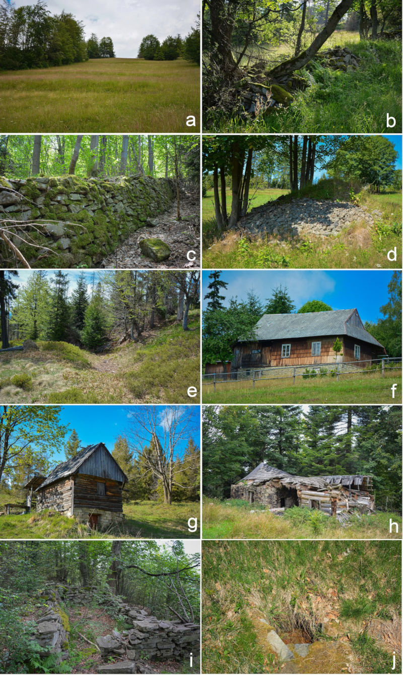
Moreover, the study has shown that in abandoned areas, often covered with forest today, landforms and objects related to the former land use have been relatively well preserved (Fig. 1). Traces of past human activity are also visible in the vegetation (Fig. 2) because the vegetation within the historical range of glades has a different character than in areas of forestry.
The pace and directions of changes in the traditional landscape in the Western Beskids indicate that this is a crucial moment to answer questions about what traditional landscape elements should be protected, what feature we want to keep, what should be a spatial range of protection, what methods should be used and what their effectiveness will be and what are the reasons for these actions. Otherwise, most mountain meadows and glades will disappear from the landscape in the coming years, and only barely visible traces of ancient human activity hidden in the forests will remind us of their existence.
The study was financed as part of a Small Project from the Reserve of the Director of the Institute of Earth Sciences entitled “Traces of Past Agricultural Activity as a Source of information on Historical Land Use in marginal mountain areas – the Example of the Western Carpathians.” The results were published in the journal “Applied Geography”.
Reference:
Sobala M. 2023. Assessment of the traditional landscapes’ state in mountain areas as the basis for their restoration (the Western Beskids, Poland). Applied Geography 161: 103123
https://doi.org/10.1016/j.apgeog.2023.103123
http://www.michalsobala.pl/
Note author: Michał Sobala


